 USD $
USD $ EUR €
EUR € HKD HK$


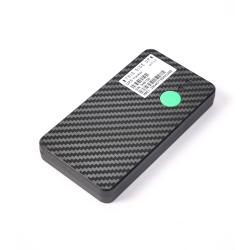
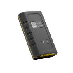
Newest GPS Tracker
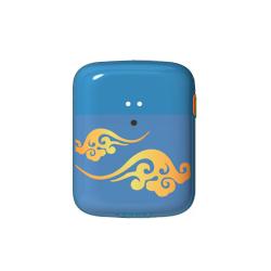

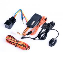
Hot GPS Tracker


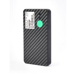
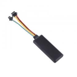
Top GPS Tracker from Eelink
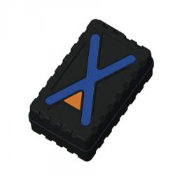
Low price GPS Tracking Devices
Latest Blog
- Magnetic Wireless Tracker: GPT48-X Powers Long-Life Asset Visibility
- magnetic wireless tracker with 5-year standby, multi-GNSS positioning, LTE-M/NB-IoT connectivity, id...
- IoT Industry Reshapes the Future of Bridges: Real-Time Monitoring in Guizhou Opens a New Era of Smart Infrastructure
- IoT Industry transforms bridge safety with real-time sensing, smart inspection, lower costs, and pre...
- IoT Full-Coverage for 47,000 High-Rises: Chongqing’s Mandatory Smart Fire Safety Rollout
- IoT links 47,000 Chongqing high-rises to four safety systems, sending alarms to a city platform in 1...
- Shanghai Intelligent IoT Connectivity: Shanghai scales 5G/5G-A, 200M IoT links and smart sensing for a mega-city intelligence system hub.
- Shanghai Intelligent IoT Connectivity: Shanghai scales 5G/5G-A, 200M IoT links and smart sensing for...
- IoT Chip Innovations: AI Awakening, Chiplet Openness, and Zero-Carbon Design
- IoT Chip innovation in 2026 accelerates low-power edge AI, chiplet openness with RISC-V, and full-li...
- Physical AI and AIoT Intelligence: From Sensing to Action, a New Productivity Foundation
- Physical AI and AIoT Intelligence unify world models, edge AI, and agents to move from sensing to sa...
- Contact EELINK
 Globalsales@eelink.com.cn
 tan3051_1
 +86 18218746415
- NEWSLETTER
- Getting the latest GPS devices news From Eelink.
- SUBSCRIBE
CopyRight 2026 Eelink Communication Technology Limited All Right Reserved